
Taking Real Estate Decision Making to the Next Level
LandVision™, a GIS powered decision support tool from Digital Map Products, helps Real Estate Professionals make smarter, more precise decisions through advanced data visualization technology.
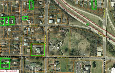
LandVision combines intelligent parcels with current aerial photography and data relevant to the real estate industry. The user-friendly interface facilitates advanced property searching, collaboration, and data management.
To obtain a free trial, please click here to request your initial product demonstration.
Learn More: