 |
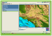
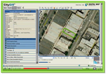
Program Overview Part One
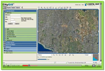
This video covers the basics of getting started with CityGIS™ including the main map, ledger and navigation icon. |
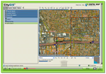 |
Program Overview Part Two
This video goes into more detail about utilizing the basic features of CityGIS™ including markup tools, latitude/longitude points, scale bar, and overview map. |
 |
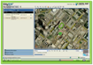
Google Earth Integration
This video discusses how to access Google Earth from CityGIS™ and move between Google Earth and CityGIS™ applications. |
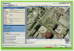 |
Search By Address
This video shows how to quickly and easily identify a property using the property's address. |
 |
Search by APN
This video describes how to search for a property using the Assessor Parcel Number, also known as APN. |
 |
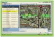
Search By Site Characteristics
This video teaches users how to search for properties based on site characteristics such as land use and lot size. |
 |
Search By Owner's Name
This video illustrates how users can search for a property by using the property owner's name. If you know the property owner's name, you can locate the property to obtain detailed property information. |
 |
Search For Property on a Street
This video showcases how to search for properties located on a specific street, regardless of address. |
 |
Search By Property Sales
This video goes over how to search for a property based on criteria such price range, geography and time frame of the sale. |
 |
Attach A Document
This video shows how to attach a document to a parcel. This is a good way to keep supporting documents together and be able to access them anywhere there is a internet connection. |
 |
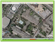
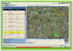
Oblique Imagery
This video shows you how to view properties in Microsoft’s Bing Maps bird’s eye imagery without having to leave CityGIS™. View properties in higher resolution and from multiple vantage points |
 |
Data Loader Series Part One
This video teachers users how to load spatial data using Data Loader. |
 |
Data Loader Series Part Two
This video builds upon the information from Data Loader Part One and demonstrates how to load your own shape file data into CityGIS™. |
 |
Data Loader Series Part Three
This video focuses on data visualization and analysis using thematic mapper. |
|
Zoning Editor
This video explains how to use Zoning Editor to easily update city zoning information. |