GOOGLE EARTH™ INTEGRATION


LandVision Help > Documentation > Google Earth Integration

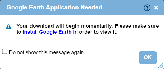
LandVision users can utilize Google Earth™ or Google Earth Pro™ for further map analysis. Google Earth provides a host of features integrated with LandVision including the ability to view the terrain to understand topography, 3D buildings, and Street View from Google Maps™. Simply zoom to an area of interest and right-click on the map to open Google Earth.

Note: LandVision integration with Google Earth is not using the plugin but the desktop application.

*Download of Google Earth or Google Earth required

View in Google Earth


  1. Zoom in to the area you'd like to view in Google Earth. Right-click on the map, and click View in Google Earth.

View in Google Earth Menu

  1. A dialogue box will appear and a KML file will download to your device. If you don't already have Google Earth or Google Earth Pro installed, use the link provided in the dialogue box to install it.

Google Earth KML Download

  1. Click on the downloaded KML file to open in Google Earth and you will be taken to your selected location from LandVision. If Google Earth is not installed, then the KML File will not open.

Google Earth KML with LandVision Location

  1. You can now inspect your LandVision location in Google Earth and access the Street View feature.

    • Best Practice tip: Use Google Earth to get a better understanding of a property's terrain and topography.

Return to Top

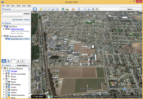
Opening Google Earth


If the file is not loading, it may be because you haven't set up Google Earth to open the kml file type. To do this in Windows:

  1. Make sure the file has downloaded to your device.

  2. Go to your Downloads Folder and right click the kml file that downloaded from LandVision. Click Properties at the bottom of the menu.

  3. Verify Opens With shows Google Earth. If not, click the Change button.

  4. Choose Google Earth Application (double click).

  5. Click the OK button.

Return to Top

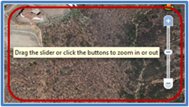
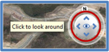
Google Earth Navigation


  1. Pan map by click-and-drag.

  1. Zoom in or out, use the mouse-roller wheel, click on the + and - options, or click-and-drag the slider up or down.
Google Earth KML with LandVision Location
  1. To rotate map from north, east, west, south, click-and-drag on the N.

Google Earth KML with rotation
  1. Click the up, left, right, down arrows to tilt the map.

Google Earth KML look around image
  1. For Street View, click-and-drag the person-icon to the map location you would like to view.

Google Earth KML with LandVision Location

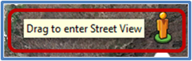
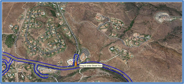
Note: Once user clicks-and-drags the person-icon, blue lines will display on the streets that have Street View imagery.

Google Earth KML with LandVision Location

Download Google Earth


To download Google Earth go to the Google Earth website http://www.google.com/earth/index.html, and click on Download Google Earth.

For More Google Earth Information

Google Earth - http://www.google.com/earth/index.html

Google Earth Help - http://support.google.com/earth/?hl=en

Return to Top


Digital Map Products now offers on-demand online training videos. These complimentary videos are designed to give you an overview of the software and demonstrate how to use selected product features.

  • Click here to view the on-demand training videos

Return to Top


© Copyright 2018 Digital Map Products About DMP | Contact Us