
|

|
LOCAL GOVERNMENT BEST PRACTICES
| Local Government Help > Local Government Best Practices | |||
|
Browse through the GovClarity Local Government Best Practice library below to learn more about industry trends. Our whitepapers, articles and videos are great resources for the GovClarity user looking to gain a more in-depth knowledge of how GovClarity is being used and to take advantage of its full capabilities. Whether you are interested in commercial, residential, or industrial real estate best practices, there is something for you in our collection. To get started, read the descriptions below then click on the image to the left to open the best practice video, whitepaper or article. |
Learn MoreContact Support
|
||
 |
Talk to Me: Using Online Maps to Engage Citizens in the Google Era View this informational webinar to learn how residents' information expectations have changed in the Google Era, popular technologies for communicating with residents, examples of successful public online maps, and more. | ||
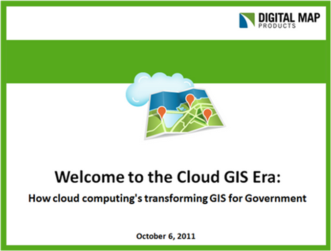 |
Welcome to the Cloud GIS Era: How Cloud Computing's Changing GIS for Government If you're interested in learning about the latest developments with Cloud GIS, hearing real life examples of how municipalities are embracing and succeeding with this transformative technology and gaining valuable tips for getting started, then "Welcome to the Cloud GIS Era" is the webinar for you.. | ||
 | The New Rules for GIS Success Cloud computing has come on the scene in a big way and can help alleviate organizations' GIS, budget and technology adoption difficulties. By watching this webinar you'll learn best practices and tips for how your organization can succeed with Cloud GIS. |  |
The Cloud Revolution: What's Next for Cloud GIS & How Cities Benefit In the past year cloud computing has revolutionized how local government implements and uses technology. GIS has especially benefited. Watch this webinar to learn how your city can capitalize on this transformative technology. |
 |
Leveraging Technology to Streamline Local Government Services This best practice article will walk you through how you can take advantage of the resources and tools available in LandVision™ to map office and industrial submarkets and to analyze sales activity in custom geographies by site characteristics. |
 |
Zoning Maps - Improving Currency & Accuracy This best practice paper explains how you can take advantage of spatial technology to better maintain your local municipality's zoning maps and easily share them with residents. | ||
 |
Coming Next - The Real GIS Revolution Right of Way Magazine, July/August 2007 This article discusses how advances in GIS are changing the way companies do business and empowering them to identify trends, spot opportunities and gain a competitive advantage. | ||
Return to Top |
| © Copyright 2015 Digital Map Products | About DMP | Contact Us |